


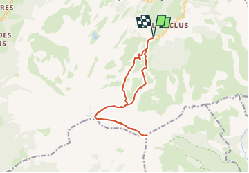
Pic de Bure (départ téléphérique)

frizou83
User

Length
14.7 km

Max alt
2696 m

Uphill gradient
1306 m
Km-Effort
32 km

Min alt
1491 m

Downhill gradient
1306 m
Boucle
Yes
Creation date :
2023-08-24 15:04:01.128
Updated on :
2023-08-24 15:04:33.271
7h18
Difficulty : Very difficult

FREE GPS app for hiking
 SityTrail
IGN / Geographical institutes
SityTrail Plus
The world is yours!
About
Trail Walking of 14.7 km to be discovered at Provence-Alpes-Côte d'Azur, Hautes-Alpes, Le Dévoluy. This trail is proposed by frizou83.
Positioning
Country:
France
Region :
Provence-Alpes-Côte d'Azur
Department/Province :
Hautes-Alpes
Municipality :
Le Dévoluy
Location:
Saint-Étienne-en-Dévoluy
Start:(Dec)
Start:(UTM)
732935 ; 4949557 (31T) N.
Comments